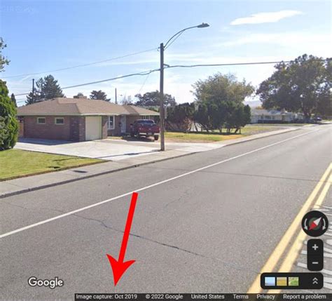
Google maps update their maps every 1 to 3 years.
Image Credit:
sukanya sitthikongsak/Moment/GettyImages
If you’re browsing Google Maps in Satellite View, you may notice that location details are not always up-to-date. Google Maps uses the same satellite data as Google Earth. Although these images update regularly, you typically won’t see live changes, and there may be a lag of up to a few years between the satellite image you see on your screen and the the way a location looks in real life.
You can’t predict when a map will change, but you can get help from Google Earth to find out the date of its last update. With Google’s Follow Your World tool, you can also sign up for email notifications when specific location images change.
Google Maps Update Schedules
The satellite data on Google Maps is typically between 1 to 3 years old. According to the Google Earth Blog, data updates usually happen about once a month, but they may not show real-time images. Google Earth gathers data from various satellite and aerial photography sources, and it can take months to process, compare and set up the data before it appears on a map.

There are times when Google Maps updates in real-time to mark major events and to give assistance in emergency situations. For example, it updated imagery for the 2012 London Olympic Games just before the Opening Ceremony, and it provided updated satellite crisis maps to help aid teams assess damage and target locations in need of help shortly after the Nepal earthquake in April 2015.
These real-time updates are not common and map lovers can enjoy surfing the maps while watching instant satellite imagery updating. Otherwise, waiting months or even years for updates to take effect is not uncommon.
Google Map Date Locations
You can’t find out when a map was last updated on Google Maps. However, you can find this data by downloading Google Earth and searching for the location in that program. If you go to the bottom of the satellite map, you see a date stamp marking the last update. This stamp is the easiest method of quickly determining the last update.
Get Google Map Updates
If you want to find out when Google Maps updates a specific location, you can set an alert on its Follow Your World tool. You receive an email every time Google updates a location you set as a Point. This is an excellent resource for anyone tracking updates and geographical changes to very specific locations.
You need a Google account to log in to the tool. Once you’re logged in:
- Go to the Home screen and enter a location in the Find a Location box.
- Select Search Location and drag the map until the + is on the spot you want to track.
- Click the Select Point button. The tool enters latitude and longitude for you.
- If you want to give the point a different name, change it in the Location Name box.
- Check that your email address is correct and select Submit.

You receive an email notification confirming that you’ve set up the alert, with a warning that updates can take “weeks, months and even years.” Next time Google Maps updates this location, it will email you.
Hayal Gücünüzü Besleyin: Benzer Konulardaki Bağlantıları İnceleyin
